Site plans and location maps

Guidance for site plans and location maps, which you need to include when applying for approval.

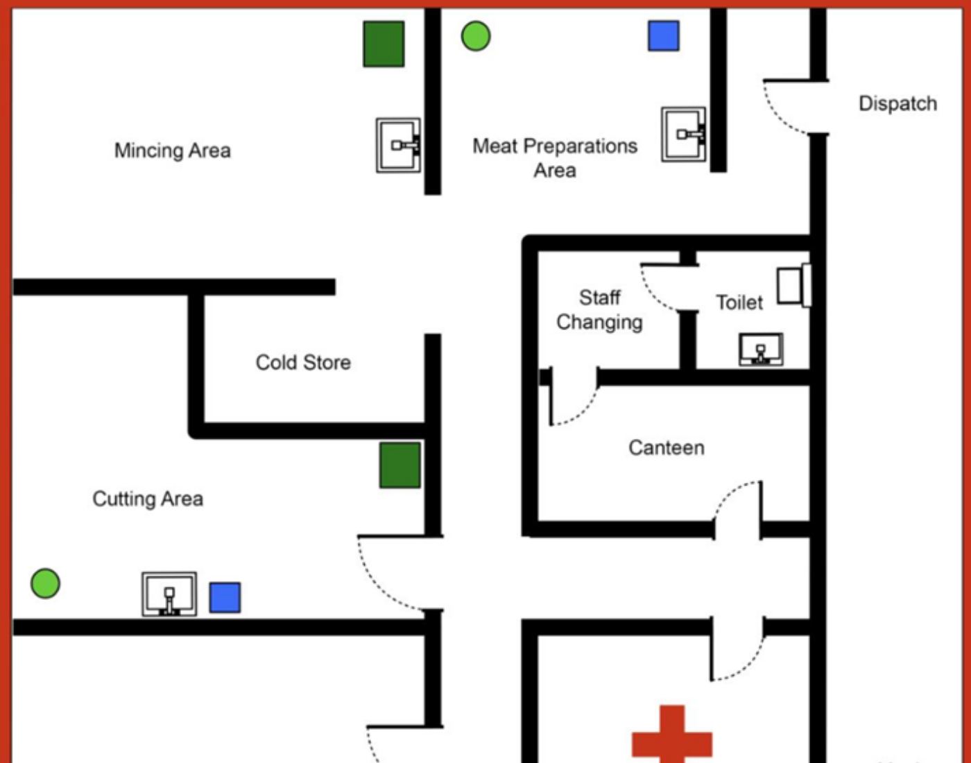
When applying for approval you must include a site plan and location map. These should be submitted with your application, and should be included as part of the same document as the application itself.

If applying to change the current geographical area and/or make changes within your establishment (for example, changes to approved curtilage) you must submit updated plans/maps to approvals@fss.scot.

Please make sure that:

  • all plans and maps specify each room’s designation
  • all plans and maps are signed and dated by the food business operator
  • plans include a red boundary encompassing all areas
  • the location map shows the names of the roads leading to the establishment
  • the location map includes a red boundary of the area under consideration for approval 

Example site plan

It is not mandatory to provide drainage, pest control and water points markings on the plan.

Layout plan with red boundary encompassing all areas. Rooms outlined in black labelled mincing area, meat preparation area, dispatch, cold store, staff changing, toilet, canteen, chiller, office, store, lairage and yard. Pest control, water and drainage points marked.


Example plan for a slaughterhouse

Layout plan with red boundary encompassing all areas. Rooms outlined in black labelled mincing area, meat preparation area, dispatch, cold store, staff changing area, toilet, canteen, cutting area, canteen, slaughterhall, office, store, lairage and yard. Pest control, water and drainage points marked.


Example location map 

Screenshot of digital map showing red boundary around area to be considered for approval. Roads on map around and leading to area encompassed in red are labelled.